Rights of Way UK: Free Footpath Android Map

English & Welsh Rights of Way Statistics
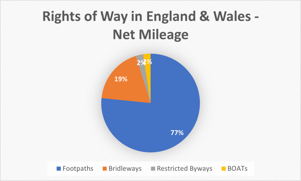
I have complied all currently available rights of way maps for England and Wales using data from Barry Cornelius (rowmaps.com). Using the merged datasets, I have complied a set of essential statistics for Rights of Way in the UK. Any region which is not support on this site will, naturally, not be included in the statistics below. Though the regions we do not currently cover tend to be small in nature please bear this in mind. Nonetheless, the statistics below paint a useful broad picture of the state of rights of way in the UK.
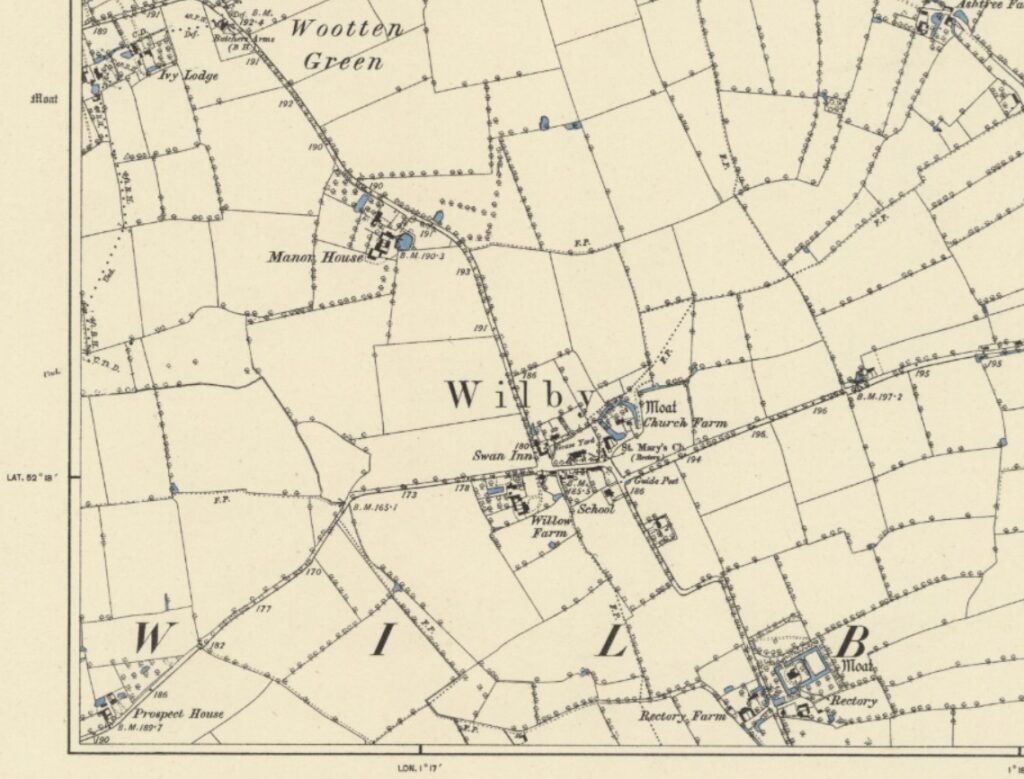
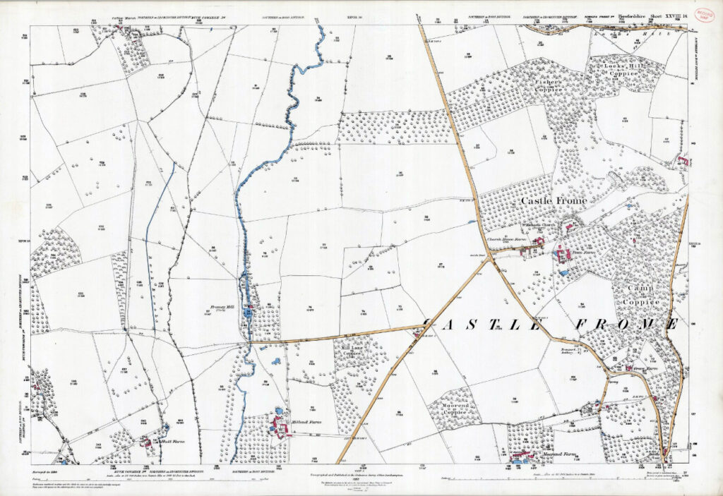
Metropolitan Borough of Barnsley Rights of Way Map: Footpaths, Bridleways & Byways
by Rafe Roughton. Published 07/02/24 (Last Modified 10/02/24) View Barnsley Rights of Way Map Here Our map of Barnsley metropolitan area includes all footpaths, byways and highways in the region. To view our map of Barnsley click the button at the top of this page. Rights of Way Statistics Byways Open to All Traffic: None […]
When is the Deadline to Claim Unregistered Rights of Way?
Rights of way are often hundreds of years old and have come about through ancient usage or the enclosures of historic commons. A legal right or way which has been established does still exist to this day even if it is not recorded. Prior to 1949, rights of way were not recorded together on a single map. Rather they would be dedicated legally in disparate acts. Without a central location to identify rights of way it became clear that such paths were at risk of becoming forgotten and lost. During the 1940s, the increase in intensive farming lead to the removal of the majority of hedgerow radically altering the countryside landscape. In turn this mean many footpaths would run through open fields further increasing the chance they would be lost for good.
What to do if Your Path is Blocked?
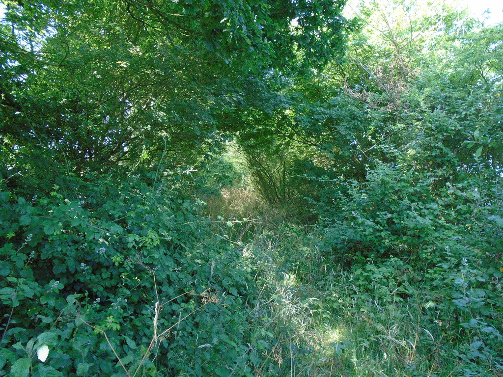
Using footpaths, bridleways and byways is a fantastic way to explore an area, leisurely travel around or simply spend an evening. Most rights of way are clear and well signed however on occasion a regular walker will come across a poorly marked path or even a blocked path. So what can you do when you can not use the path?
What Are the Different Right of Way Types?
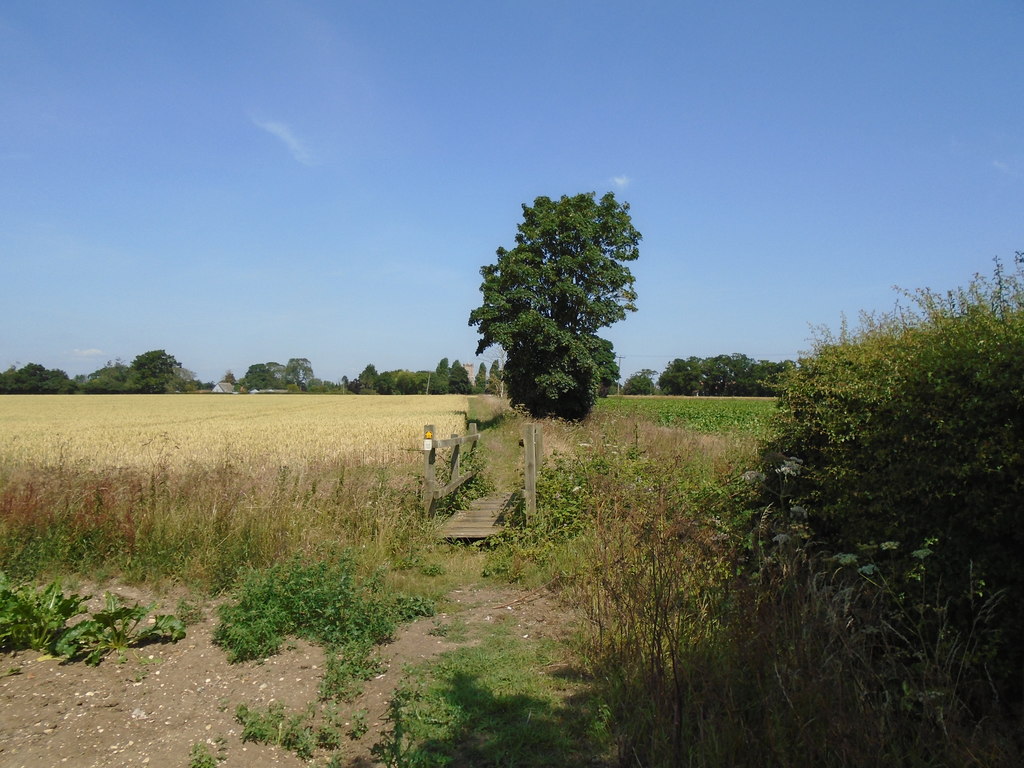
You most likely know about footpaths and bridleways but what about restricted byways or byways open to all traffic? In the UK, there are four types of right of way which allow differing activities. For any users of rights of way, it is important to know about all the different types to ensure you are using the path legally. In generally, all rights of way allow walkers and runners. Mobility scooters, powered wheelchairs and prams are also universally allowed however the dirt/grass surface of paths, and likelihood of gates and styles, mean paths may be unsuitable for them. Dogs are also allowed but must be under close observation. If a route is impassable you are always allowed to take a reasonable diversion or remove the obstruction though it is advisable to let the council deal with it especially in the cases of intentional blocking.
Free Rights of Way Maps by Council
Rights of Way UK is now live with all maps online and ready to use. We organise our maps by council which can be accessed on the ‘Access our Maps’ page in the menu above. By default, all rights of way types are loaded however you can chose to only view certain types of paths using the small toggle button on the top right side of the map.