by Rafe Roughton. Published 07/02/24 (Last Modified 10/02/24)

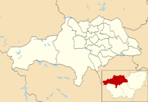
Our map of Barnsley metropolitan area includes all footpaths, byways and highways in the region. To view our map of Barnsley click the button at the top of this page.
Rights of Way Statistics
- Byways Open to All Traffic: None
- Bridleway: 253 (215 Miles)
- Footpath: 1,849 (562 Miles)
- Restricted Byway: 4 (4 Miles)
Overview of Metropolitan Borough of Barnsley
The Metropolitan Borough of Barnsley, nestled in South Yorkshire, England, boasts a rich industrial heritage intertwined with vibrant contemporary culture. Barnsley, its bustling administrative centre, serves as a focal point for commerce, education, and community life within the borough. Historically renowned for its coal mining and glassmaking industries, Barnsley has evolved into a diverse economic hub, embracing sectors like advanced manufacturing, healthcare, and digital technology. The borough’s landscape is a picturesque fusion of urban developments and sprawling countryside, offering residents and visitors alike a myriad of recreational opportunities, from exploring the scenic Pennine Trail to indulging in the eclectic mix of shops, restaurants, and cultural venues in the town centre. With a population brimming with warmth and resilience, the Metropolitan Borough of Barnsley continues to forge its path forward, celebrating its heritage while embracing innovation and progress.
