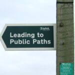
Below is our free rights of way map covering all of England & Wales. It includes all footpaths, bridleways and byways which are separately coloured. You can select which rights of way are displayed using the map toggle button on the top right corner. To view the details of a path click on it an a details box should appear.
Geolocation: Click the top left icon on the map (below zooming options) then click accept. You will be directed to your current, approximate, location.
Mobile Users: On mobile phone, to scroll up and down the page use one finger. To move the map use two fingers.
Path Details: Click a route to get details on that path. This includes path numbers, distance and council data.
Footpaths = Yellow. Byways (Open to all Traffic) = Orange. Byways (Restricted) = Green. Bridleways = Purple