Fix Dead End Paths: The Tragedy of the Definitive Map
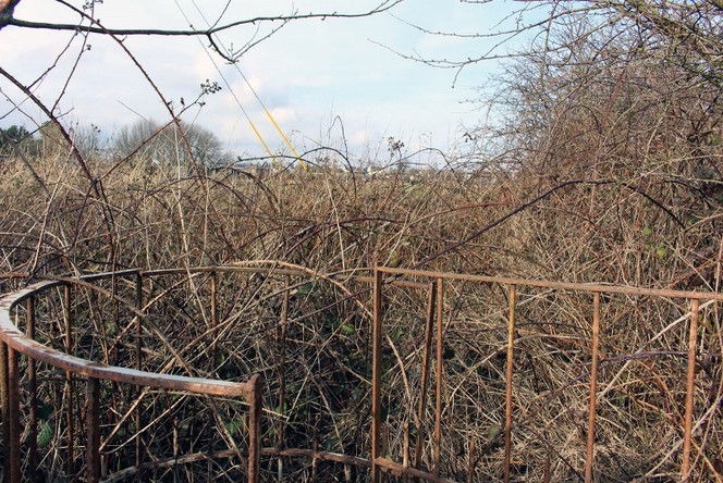
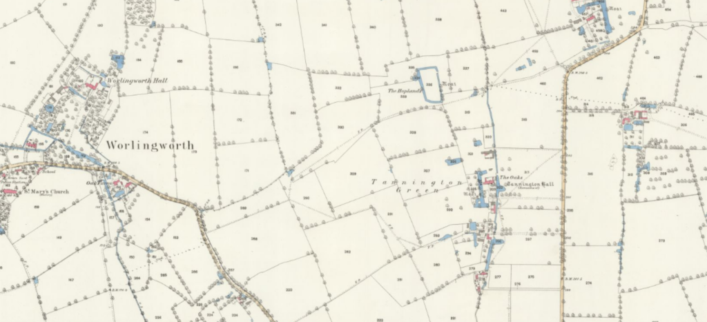
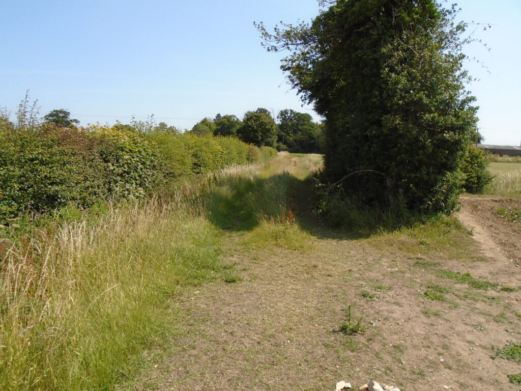
A number of dead-end footpaths in Worlingworth, Suffolk including a path which starts and stops in the middle of nowhere at the parish boundaries. The definitive map was undoubtably the savour of our rights of way network. Without it, many paths would be been lost. Indeed, having done extensive research the Victorians were adept at […]
English & Welsh Rights of Way Statistics
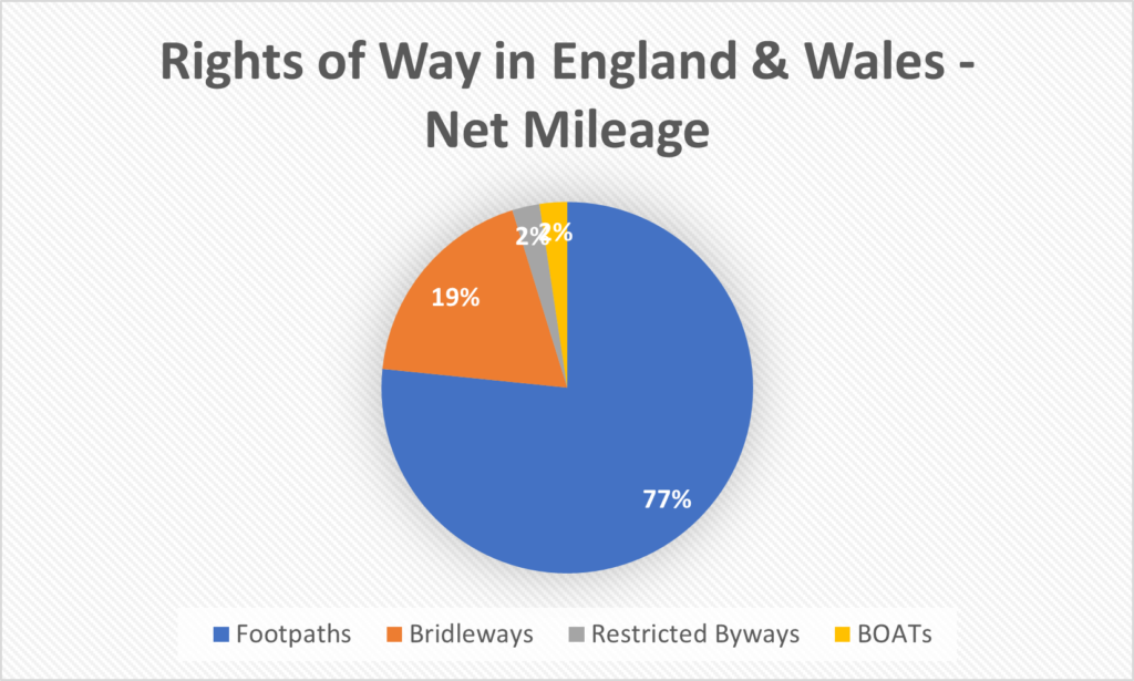
I have complied all, currently available, rights of way maps for England and Wales using data from Barry Cornelius (rowmaps.com). With the merged datasets, I have complied a set of essential statistics for Rights of Way in the UK. Any region which is not support on this site will, naturally, not be included in the statistics below. Though the regions we do not currently cover tend to be small in nature, please bear this in mind. Nonetheless, the statistics below paint a useful broad picture of the state of rights of way in the UK. We have included a download link to the appropriate combined dataset below. Please feel free to share this page, any data and any images or charts – everything on this page is released under CC0 (Public Domain).
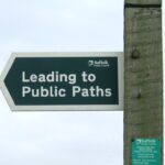
What to do if Your Path is Blocked?
Using footpaths, bridleways and byways is a fantastic way to explore an area, leisurely travel around or simply spend an evening. Most rights of way are clear and well signed however on occasion a regular walker will come across a poorly marked path or even a blocked path. So what can you do when you can not use the path?
The Deadline Has Been Scrapped!
A wonderful festive gift: the deadline to register lost rights of way has gone!
This is delightful news – indeed many paths will be hundreds and hundreds of years old so the deadline was always going to be a heritage destroying policy. It was introduced under Blair who did some fantastic work implementing right to roam and sorting out the ‘Roads used as Public Paths [RUPP]’ issues. Originally set to 2026, it has been continually paused and pushed eventually settling on 2031 during the last Conservative government.
Free Rights of Way Maps by Council
Rights of Way UK is now live with our main map online and ready to use. I will eventually organise my maps by council will be accessed on the ‘Access our Maps’ page in the menu above. By default, all rights of way types are loaded however you can chose to only view certain types […]
What Are the Different Right of Way Types?
You most likely know about footpaths and bridleways but what about restricted byways or byways open to all traffic? In the UK, there are four types of right of way which allow differing activities. For any users of rights of way, it is important to know about all the different types to ensure you are using the path legally. In generally, all rights of way allow walkers and runners. Mobility scooters, powered wheelchairs and prams are also universally allowed however the dirt/grass surface of paths, and likelihood of gates and styles, mean paths may be unsuitable for them. Dogs are also allowed but must be under close observation. If a route is impassable you are always allowed to take a reasonable diversion or remove the obstruction though it is advisable to let the council deal with it especially in the cases of intentional blocking.
When is the Deadline to Claim Unregistered Rights of Way?
December 2024 Update: The deadline has been scrapped! Wonderful news notheless we still need to all work towards restoring as many paths as possible. Rights of way are often hundreds of years old and have come about through ancient usage or the enclosures of historic commons. A legal right or way which has been established […]